


Skip to product information
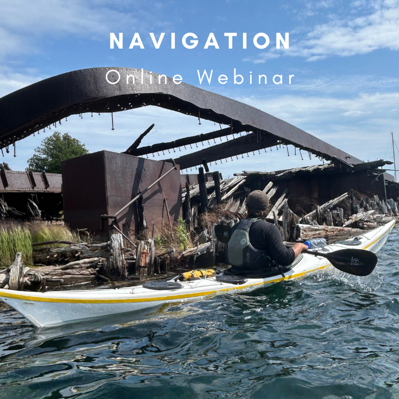


Essentials of Kayak Navigation: Charts, Tides, and Safety
$9.95
This is an online course.
Join us for a 2-hour webinar designed to equip kayakers with the foundational navigation skills needed for safe and confident paddling on the Great Lakes and Atlantic Ocean. We will learn to analyze marine charts, use a compass, and plotting tools. We will also cover the basics of tides and currents in an ocean environment.
This webinar is your first step toward becoming a more knowledgeable and prepared kayaker, perfect for paddlers with Level 1 skills or those preparing for further navigation training. We will touch on options for further training at the end of the webinar.
Navigation Tools Overview
- Marine charts (types and symbols).
- Compass basics (Declination, Deviation, Variation).
- Tide and current tables (what they look like and their importance).
Understanding Marine Charts
- Symbols and scales.
- Orientation and features (depths, contours, navigation aids).
- Calculating Variation.
Basics of Using a Compass
- True vs. magnetic bearings.
- How to take a bearing.
- Lines of Position.
- Fixes
- Triangulation.
Tides and Currents for Kayakers
- Basics of tidal movements and currents.
- Reading tide tables and their components.
- Simple trip planning based on tidal flow.
- Real-world scenario: Walk through a basic tide table to plan a safe kayaking route.