


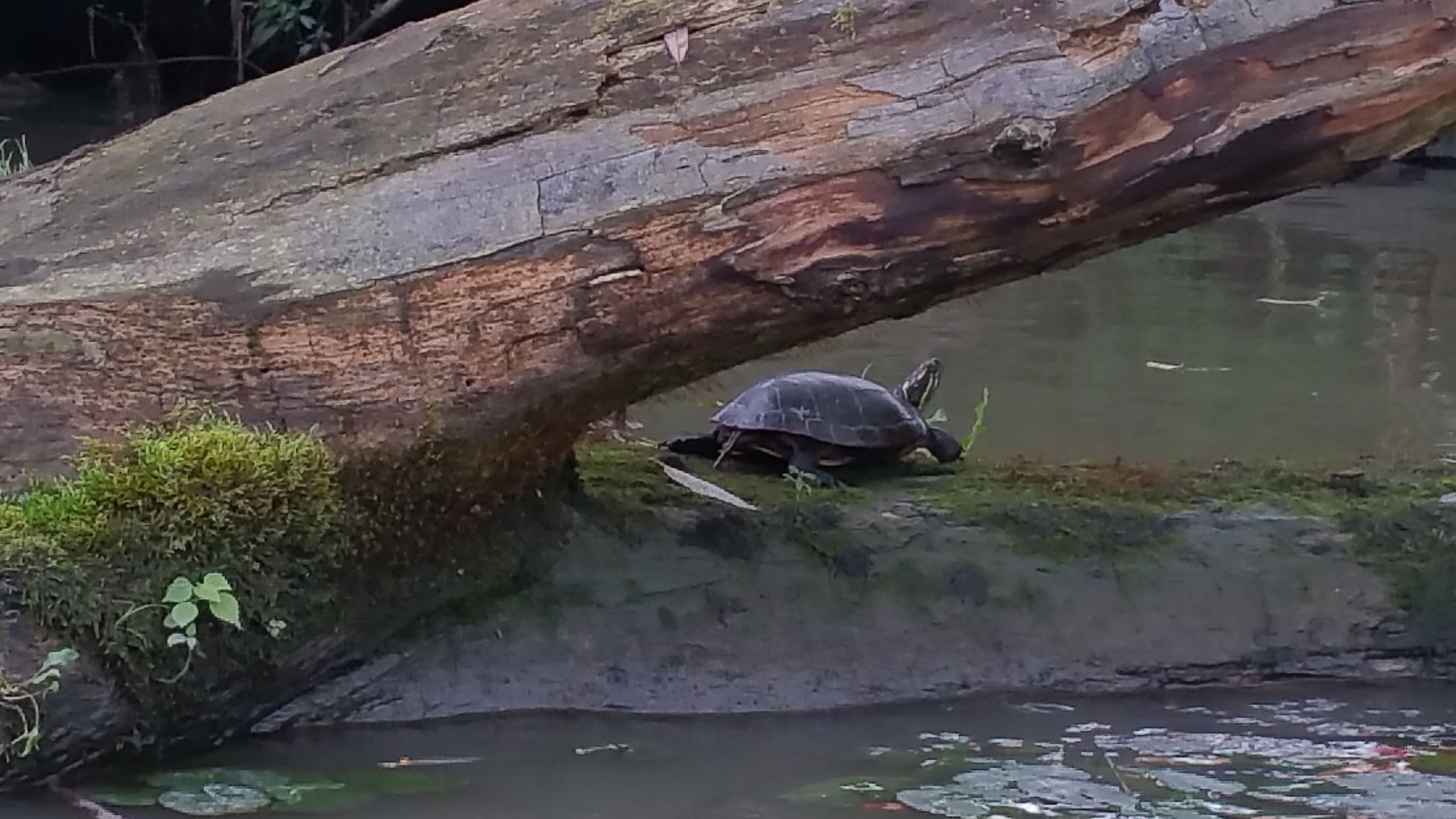
The Welland River has a long and interesting history. Originally called Chippewa Creek by the local peoples of the region—referred to as the Chippewa Nation, a branch of the Ojibwa—the river was later renamed the Welland River by John Graves Simcoe, the first lieutenant governor of Upper Canada.
Trip Rating: 4.0/5
The Welland River was once integrated into the original Welland Canal system. Cargo and transport vessels would travel to Port Davidson, then continue to the Niagara River, brave the strong currents near the top of Niagara Falls, and eventually head north toward Lake Erie.
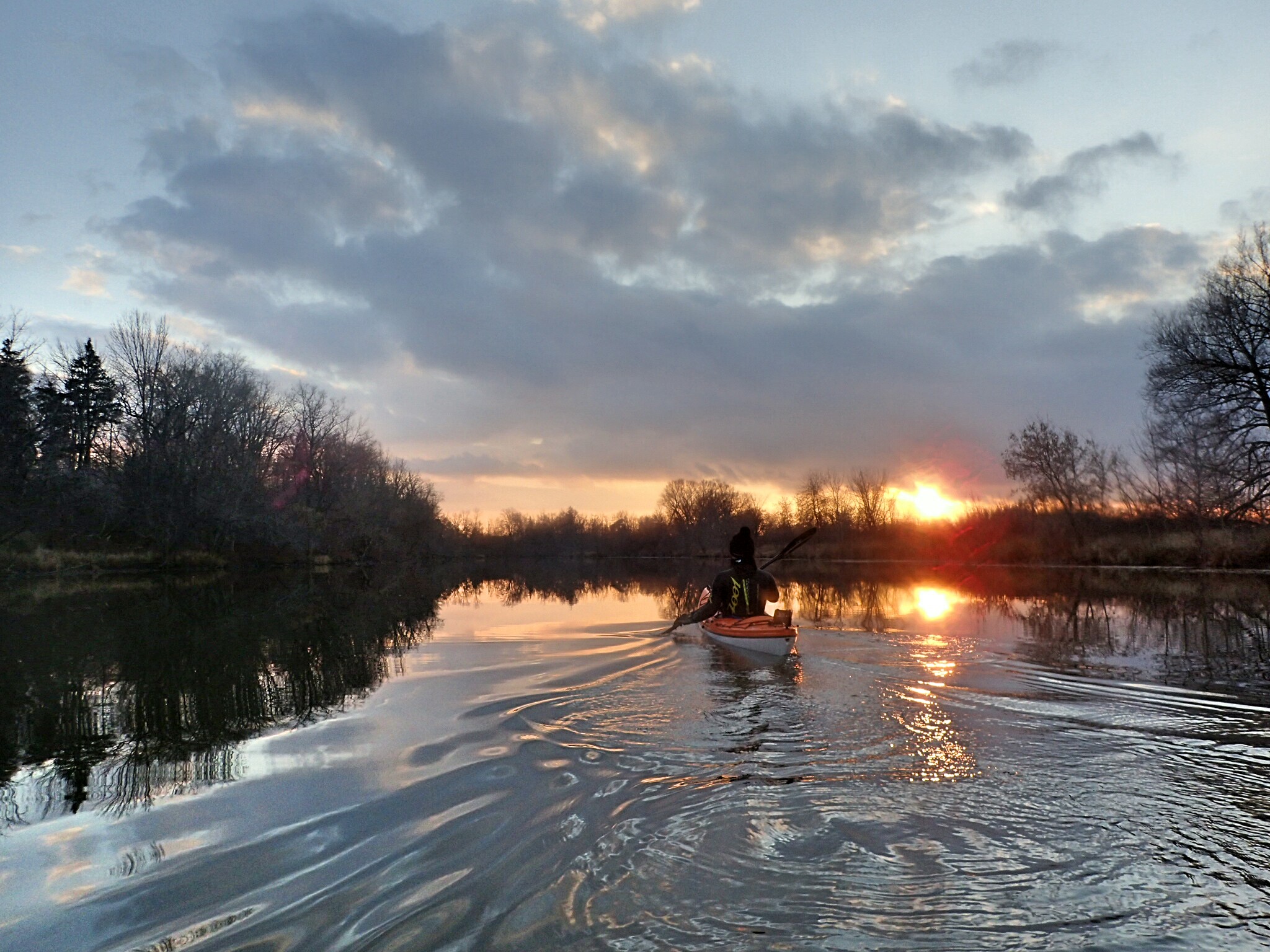
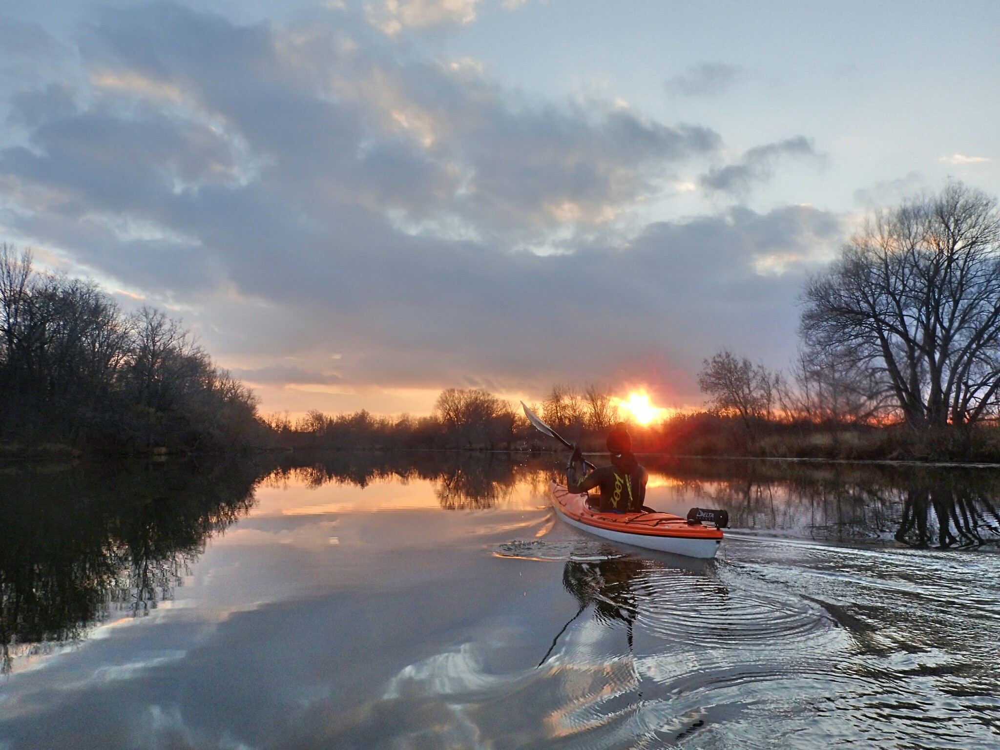
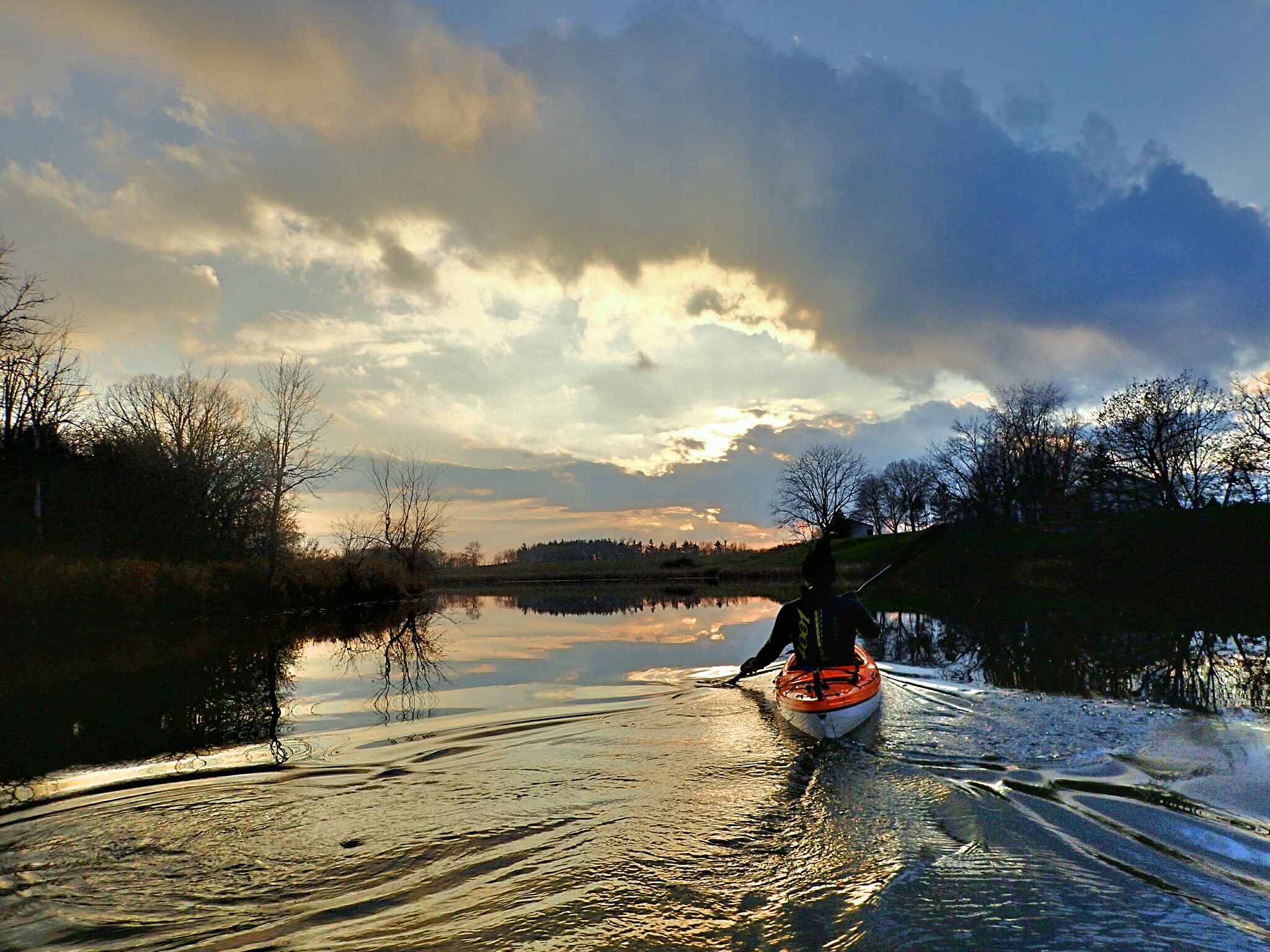
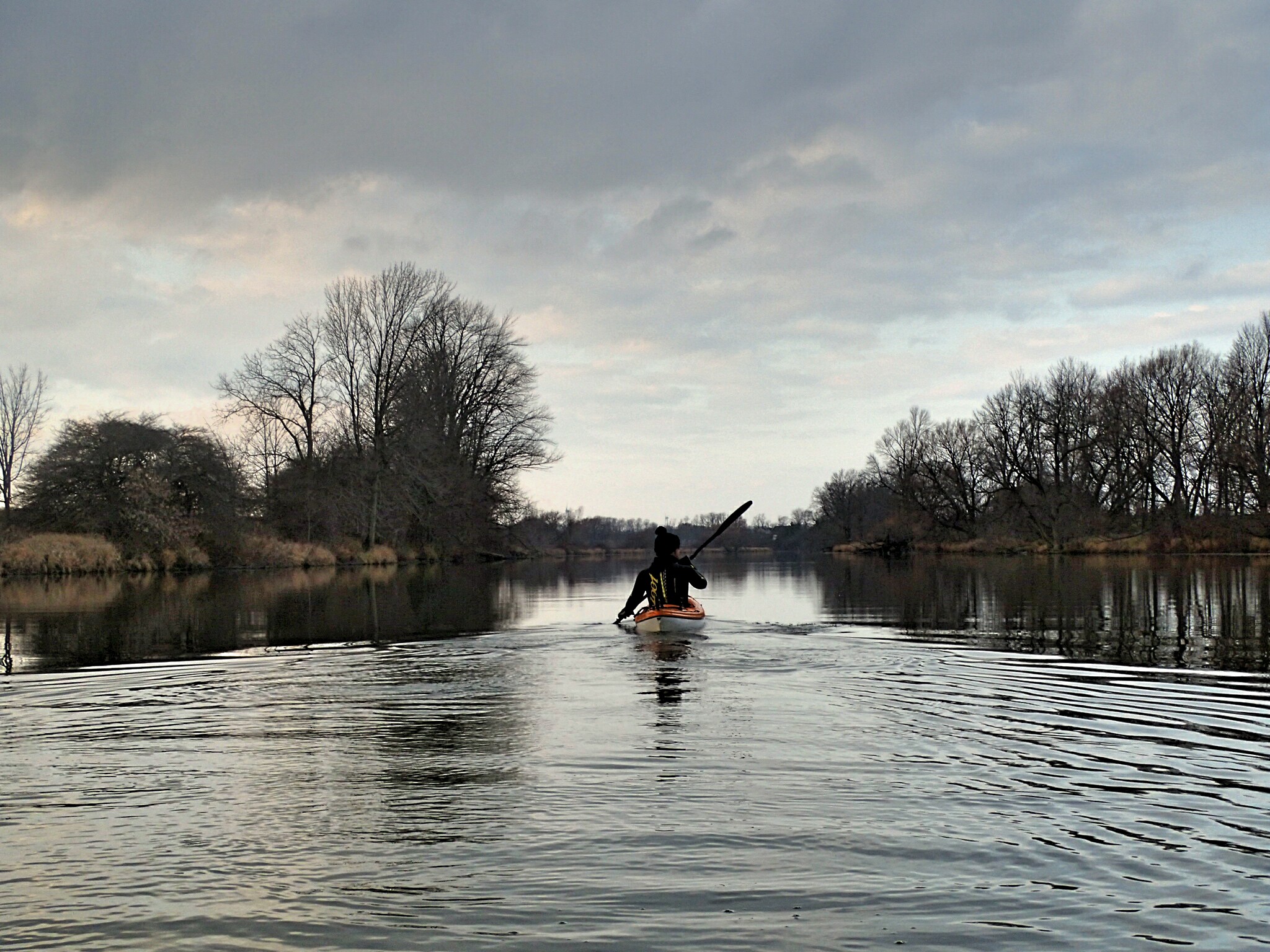
The river begins near the John C. Munro Airport in Hamilton, Ontario, and flows east until it meets the Niagara River at Chippewa. This post focuses on the stretch from the Wellandport Community Centre heading west toward Welland. I’ll cover the eastern section toward the conservation area in a separate post.
Trip Length:
The river is long and calm, offering as much distance as you want. From this launch, you can theoretically paddle all the way to Niagara Street in Welland—over 50 km upstream. You can paddle out and back without worrying much about current.
Cost: $0
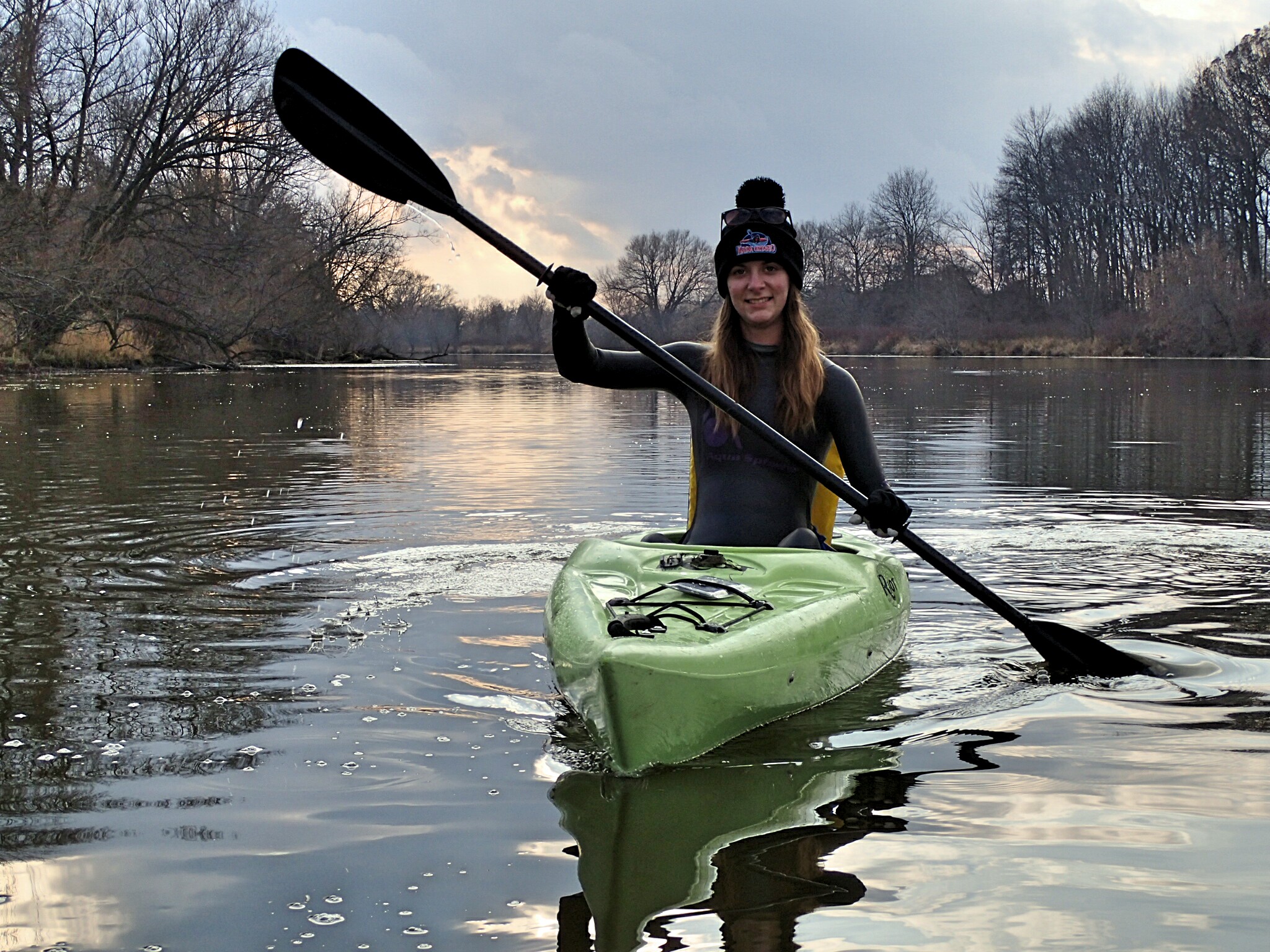
Difficulty: The river is usually calm with very little current. However, flows can increase during hydro plant operations or in the spring. As always, proper PFDs and safety equipment must be used.
Launch Sites:
The launch is a gravel ramp behind the Wellandport Community Centre. There are no services at the ramp, but stores and a gas station are nearby.
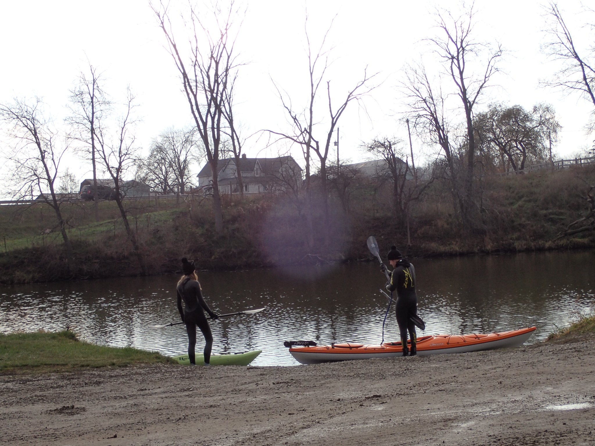
To find this launch, enter:
5042 Canborough Rd, Wellandport, ON L0R 2J0 into your GPS.
If you would like to support Kayak Ontario, the best way is by joining one of our kayaking lessons—clinics, classes, or events. You can explore our full schedule and offerings by visiting our shop here.
0 comments